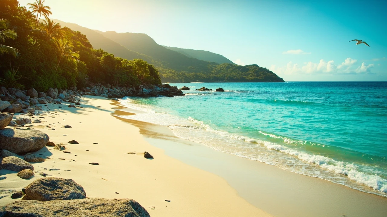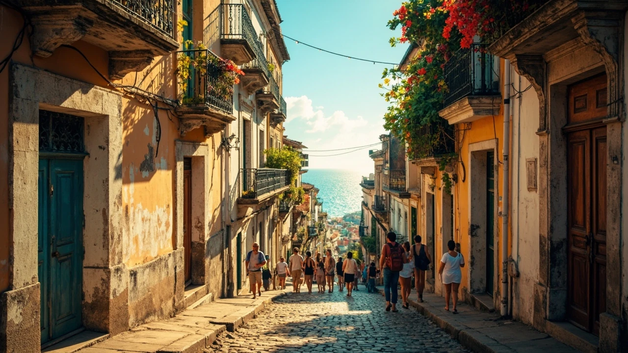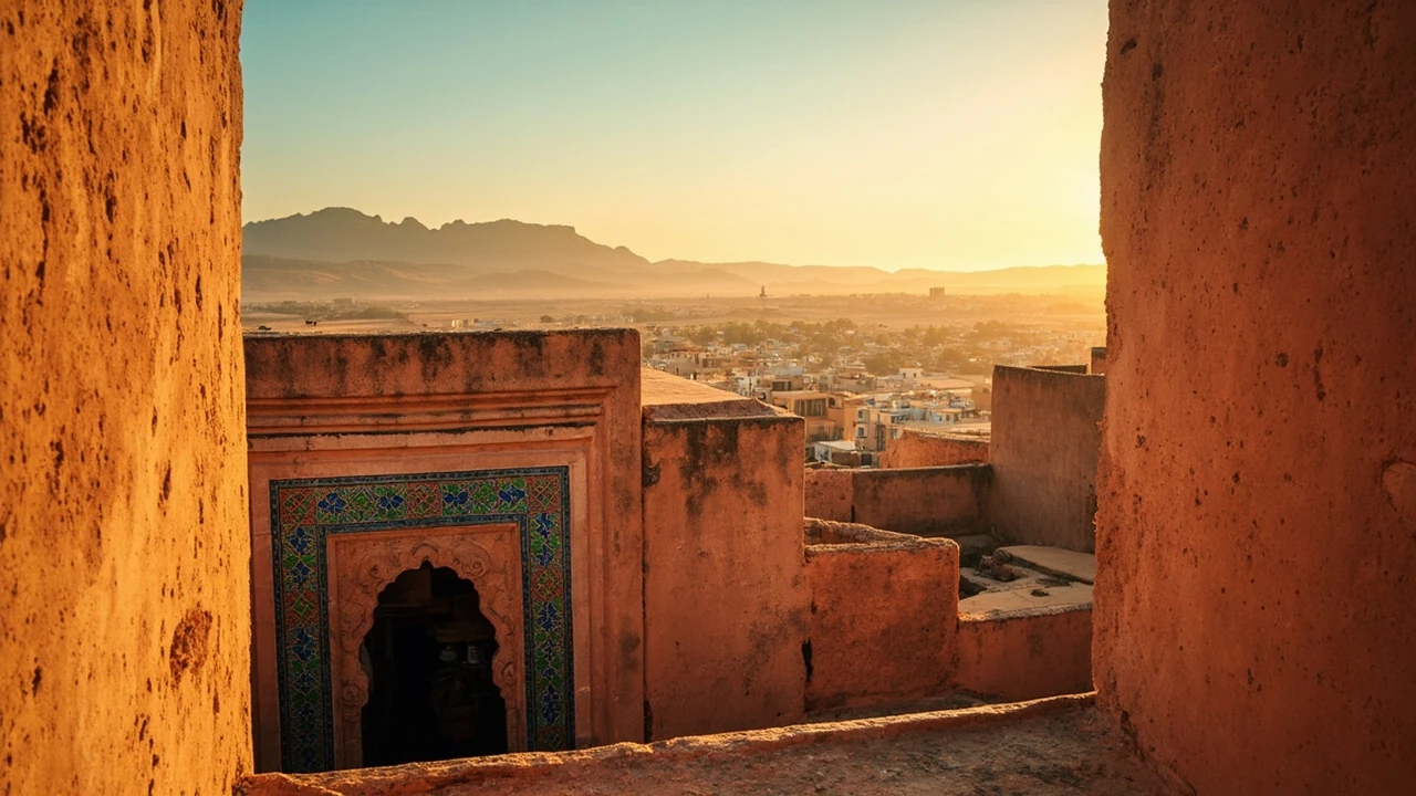
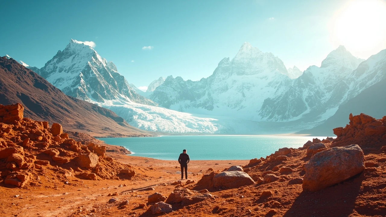
Choosing among Chile famous landmarks can be harder than choosing between them. Santiago’s historic center is within a single day of the city, but Torres del Paine requires a multi-day journey south, Easter Island sits thousands of kilometers offshore, and the Atacama’s desert sites demand careful attention to altitude, heat, and distance. The best itinerary depends less on a list of postcard stops than on the time available, the pace you can maintain, and the landscapes you most want to see.
This guide organizes Chile famous landmarks by region and travel demands, then explains how to combine them without turning the trip into a series of exhausting transfers. It also identifies practical limits around seasons, weather, roads, reservations, park access, and budget so you can build a realistic plan.
Chile famous landmarks organized by region and travel style
Chile stretches more than 4,300 kilometers from the desert in the north to the fjords and ice fields in the south. At that scale, famous sights that appear close on a map can be separated by full days of travel. A useful first step is to choose a geographic theme rather than attempting to collect every recognized attraction.
- For a short city break: concentrate on Santiago, the Valle Central wine country, and the nearby coastal scenery of Viña del Mar and Valparaíso.
- For landscapes and astronomy: focus on the Atacama Desert, high-altitude geysers, salt flats, volcano views, and the clear skies around the Elqui Valley.
- For national parks: prioritize Torres del Paine in Patagonia or the less remote but equally distinctive routes of Aysén.
- For archaeology: make Easter Island, or Rapa Nui as its Indigenous people call it, a dedicated trip rather than a brief detour.
- For slow travel: combine Santiago with the Valparaíso coast, the Lake District, and one or two rural routes that reward longer stays.
These Chile famous landmarks suit different travel styles because the distances and infrastructure vary sharply. Santiago offers walkable history and a broad food scene. The Atacama requires heat and altitude preparation. Patagonia demands more time in the vehicle and usually more accommodation planning. Rapa Nui is a destination in its own right rather than a convenient stop between larger cities.
| Region | Best-known landmarks | Typical time to experience | Main planning challenge |
|---|---|---|---|
| Santiago and central Chile | Santiago Cathedral, Cerro San Cristóbal, Plaza de Armas, La Moneda, Viña del Mar, Valparaíso | 1–5 days depending on the route | Using Santiago as a base for distant day trips |
| Atacama and the far north | El Tatio geysers, Valle de la Luna, Salar de Atacama, Laguna Santa Ana, Valle de la Luna | 3–6 days | Altitude, intense sun, long driving distances, and limited service options |
| Lake District | Osorno Volcano, Lakes Llanquihue, Todos los Santos, Ruca Pichihue, Villarrica | 4–7 days | Weather changes and seasonal access |
| Patagonia | Torres del Paine, Grey Glacier, Perito Moreno Glacier, Puerto Natales, Cerro Torre | 7–14 days | Weather, long transfers, park bookings, and limited services |
| Rapa Nui | Rano Raraku, Ahu Tongariki, Anakena, Orongo, Rano Kau | 4–6 days | Flights, vehicle availability, and respectful archaeological planning |
One useful rule is to build the trip around two major geographic anchors and a limited number of stops between them. For example, a two-week itinerary can combine Santiago with the Atacama, while a separate two-week journey can cover the Lake District and Torres del Paine. Trying to include both northern Chile and Patagonia on the same trip may consume much of the schedule in aircraft seats and long drives.
Start with Santiago’s historic center and Cerro San Cristóbal
Santiago works well as an introduction because it combines concentrated urban heritage with easy access to museums, markets, restaurants, and viewpoints. The historic center includes Plaza de Armas, the neoclassical Santiago Cathedral, the Metropolitan Cathedral, La Moneda Palace, and the iron Fountain of Liberty. A walk across the center reveals several distinct layers of the city without requiring transportation.
Plaza de Armas is a practical starting point because it provides orientation and connects with La Moneda, the Metropolitan Cathedral, and the historic streets around them. The palace is associated with Chile’s transition to independence and remains a central part of the national narrative. Visitor access and any ceremonial arrangements can change, so travelers who want to enter should check official information shortly before visiting rather than relying on an old itinerary.
Nearby streets lead to the Mercado Central and the surrounding food culture. The market is useful for lunch, but the stronger experience involves noticing how produce, fish, bread, and prepared foods fit into daily urban life. The nearby Barrio Lastarria and the streets of Bellas Artes are more associated with restaurants, museums, and pedestrian-oriented wandering than with a single monumental sight.
Cerro San Cristóbal provides a completely different perspective. The park contains the Sanctuary of Immaculate Conception, the gardens of the Metropolitan Zoo, broad green spaces, and views across the city toward the Andes. From the upper areas, the skyline extends toward snow-covered peaks when visibility is good. The park is large enough to feel spacious, but San Cristóbal is not a quiet hilltop lookout: roads, bus routes, funiculars, crowds, bicycles, and recreation areas create a busy urban destination.
- Easy half-day route: Plaza de Armas, La Moneda, the central markets, and a museum in the historic core.
- Active half-day route: climb Cerro San Cristóbal on foot, then return by the available transport options.
- Evening extension: stay for dinner in the historic center or Lastarria rather than adding a distant attraction to the day.
| Santiago landmark | What visitors can experience | Practical approach |
|---|---|---|
| Plaza de Armas | Central square, cathedral, palace, fountains, street life | Begin here and walk toward surrounding streets |
| La Moneda Palace | Historic presidential palace and an important symbol of national independence | Confirm visitor arrangements in advance |
| Mercado Central | Market stalls, regional food, seafood, produce, and prepared dishes | Visit during the main meal period and carry cash |
| Cerro San Cristóbal | Parkland, sanctuary, city views, gardens, and recreation | Allow several hours and bring water |
| Barrio Lastarria | Independent restaurants, galleries, cafés, and historic streets | Pair with the central museums or an afternoon in the park |
For visitors with only one or two days in the country, Santiago is the logical base. Its famous landmarks are diverse without requiring a long expedition. The same base can support day trips to Valparaíso and Viña del Mar, but those belong on a separate itinerary rather than being squeezed into a rushed Santiago day alongside Cerro San Cristóbal.
Choose Valparaíso, Viña del Mar, and the central coast
The coast west of Santiago offers a different introduction to Chile through steep streets, historic port infrastructure, funiculars, street art, and Pacific views. Valparaíso is often described as colorful, but its appeal comes from the physical relationship between the hills and the bay. Bright facades, murals, stairways, lifts, and older commercial buildings occupy a city whose modern history is closely connected to shipping.
Valparaíso’s steep geography affects the visit. Walking uphill can be demanding, and stairways between levels may be uneven. Funiculars provide a practical way to move between parts of the city, while an organized walking tour can help visitors understand the relationship between the port, neighborhoods, and historic commercial activity. The city also has a contemporary arts scene, and the port area has seen major cultural development, but visitor interest should not displace attention to residential districts and everyday street life.
Viña del Mar sits nearby on the coast and presents a more conventional resort landscape. Beaches, parks, the flower clock, apartment-lined streets, and the shoreline promenade make it a pleasant complement to Valparaíso. Rather than treating the two cities as identical, travelers can use their differences: Valparaíso for urban texture and history, Viña del Mar for a slower walk beside the Pacific.
For a practical comparison:
- Choose Valparaíso for steep streets, port history, funiculars, street art, and a denser cultural atmosphere.
- Choose Viña del Mar for beaches, promenades, parks, and a more relaxed coastal outing.
- Choose both when you have a full day, can avoid trying to drive between them, and want a contrast between working port city and resort promenade.
The central coast also works well as a stop between Santiago and the Lake District. On the road south, the scenery changes gradually from the dry basin around Santiago to greener valleys, vineyards, and wooded hills. The famous Chilean wine country lies across these valleys, and a visit can add a rural dimension without requiring the remote logistics of Patagonia. Taste rooms and cellar visits should be booked around transport rather than left to chance, especially when vineyards are outside the city.
Use the Atacama Desert for geysers, salt flats, and high-altitude scenery
The Atacama is one of the clearest reasons to build a trip around Chile famous landmarks. It is a high, dry landscape containing salt flats, volcanoes, dunes, lagoons, geysers, and towns that developed around mining and astronomy. The scenery feels unlike the rest of the country because rainfall is exceptionally limited, air can be extremely dry, and the high-altitude landscape leaves many visitors more aware of the sun.
El Tatio is the best-known geyser area, located at high elevation near San Pedro de Atacama. Geothermal activity produces columns of steam and boiling water that can be impressive in cold morning air. The visit is physically more demanding than it first appears. The paths cross uneven ground at altitude, and visitors should allow time to acclimatize rather than rushing from the airstrip or town directly to a high trail.
Salar de Atacama is the region’s signature landscape, but its scale is difficult to appreciate from the roadside. Visits with a licensed operator can reach areas where salt patterns, lagoons, flamingos, and volcanic horizons become visible beyond the immediate pull-offs. Private vehicle access and commercial excursion rules can change, so travelers should confirm how they plan to visit rather than assume that every viewpoint is freely accessible.
Valle de la Luna offers a more compact introduction to the desert’s eroded forms. Its trails run among unusual rock formations created by wind, salt, and moisture, usually with broad views across the surrounding basin. Laguna Santa Ana lies within Salar de Atacama and is generally approached as part of a longer excursion. The route involves off-road driving, altitude, and a substantial amount of time in the desert, so a short tour may not match its scale.
- Stay at least two nights near the main service area to reduce the pressure of immediate travel after arrival.
- Schedule the first major outing after some acclimatization and avoid making the most demanding activity the first item of the day.
- Protect yourself from sun, dehydration, and wind even when temperatures feel cool in the shade.
- Reserve operators and lodging early for weekends, holidays, and the Southern Hemisphere winter.
- Keep emergency contacts and the location of your accommodation available for remote itineraries.
| Atacama stop | Main attraction | Best time to plan | Visitor concern |
|---|---|---|---|
| El Tatio | Active geysers and geothermal steam | Early morning | Altitude, uneven paths, and cold conditions |
| Salar de Atacama | Vast salt flat, lagoons, volcanoes, and wildlife | Full day | Long distances and sun exposure |
| Valle de la Luna | Wind-shaped desert formations | Late afternoon when appropriate | Heat, wind, and required footwear |
| Laguna Santa Ana | Large lagoon within the salt flat landscape | Extended half-day or full day | Remote roads and limited rescue coverage |
| Elqui Valley | Dry mountain scenery and observatory culture | Several days | Distances from San Pedro and limited nighttime transport |
The BBC Travel material on Chile also points to the country’s exceptional night skies and identifies the Atacama region as a place where visitors come to experience them. Stargazing should be treated as an organized activity rather than an improvised stop beside a highway. Choose a recognized observatory or tour operator, ask what the experience includes, and check moon and cloud conditions before booking. The dark sky is the attraction, but transportation, guidance, and safe viewing conditions still matter.
Plan the Lake District around volcanoes, lakes, and flexible weather days
The British Broadcasting Corporation’s Chile travel guide describes Patagonia as wild and rugged, highlights the Carretera Austral as a remote and demanding road journey, and notes the growing appeal of skiing in the Chilean Andes. Those details reinforce the central point: Chile famous landmarks may be exceptional, but access can be physically demanding rather than effortless.
The Lake District lies between Santiago and Patagonia, offering a gentler landscape than the Atacama and a useful middle section of a longer road trip. Osorno Volcano is one of the area’s most recognizable silhouettes, while the surrounding Lakes Llanquihue, Todos los Santos, and Villarrica create opportunities for boat trips, walks, hot springs, kayaking, and quiet time by the water.
Villarrica is often used as a base because it combines lake access with a lively town, restaurants, and services. The volcano can be explored from several viewpoints, while the lake supports activities around its shoreline and islands. Weather can change quickly, and a clear morning does not guarantee a clear afternoon. Build outdoor plans around flexible days rather than placing every important activity on a fixed timetable.
Puerto Varas is another practical base with views across Lake Llanquihue toward Osorno. From there, the Petrohué Falls area offers a more dramatic landscape of channels, rapids, volcanic rock, and forested slopes. Further north, Osorno and the upper lake region provide access to more open volcanic scenery. These places are close enough to combine, but road conditions and weather determine how much can be completed in one day.
Todos los Santos has a different character. Its steep green mountains surround a narrow lake, and many viewpoints are reached along a winding road. The area is scenic but physically demanding, especially for travelers who want to stop at every pull-out. The lake is also associated with the Chilean side of the Bariloche-toPuerto Varas route, making it a logical stop for travelers continuing south.
- Three-day Lake District loop: focus on one volcano and one lake area rather than attempting to cross the entire region.
- Four- to five-day route: link Villarrica, Puerto Varas, Petrohué Falls, and selected viewpoints around Lakes Llanquihue and Todos los Santos.
- Nature-focused extension: add time for kayaking, trail walks, thermal pools, or a slower boat itinerary instead of stacking more towns.
| Lake District base | Best use | Landscape emphasis |
|---|---|---|
| Villarrica | Outdoor activities with access to services and transport | Lake, volcano, forest, and town atmosphere |
| Frutillar | Historic waterfront and a quieter southern Lake Llanquihue stop | German-influenced architecture, lake views, and rural scenery |
| Puerto Varas | A flexible base for the lake, falls, and western access | Osorno views, channels, rapids, and volcanic foothills |
| Osorno | Volcanic scenery and short outdoor excursions | Volcano, pastureland, forests, and open sky |
For travelers connecting Santiago with Torres del Paine, the Lake District offers a gradual transition into Patagonia. The final stages become wilder, the settlements thinner, and the climate less predictable. Spending at least three days in the lake region is usually more restorative than treating it as an overnight stop between two long flights or drives.
Make Torres del Paine the centerpiece of a Patagonia trip
Torres del Paine is the most demanding major stop among Chile famous landmarks. The park combines turquoise lakes, glaciers, broad plains, granite peaks, forests, and long hiking routes in a protected landscape near Puerto Natales. The famous towers at the park’s eastern end are only one part of the area, and visitors who treat the park as a single-day viewpoint miss much of what makes it distinctive.
The W Trek is the park’s best-known multiday route, but its difficulty should not be understated. The trail crosses open terrain where wind can be intense, passes steep ascents and descents, and includes sections exposed to rapidly changing weather. Even experienced hikers can find conditions demanding. The route also requires sequencing camps or lodging, carrying the appropriate equipment, and monitoring official park information before departure.
The park offers shorter alternatives for travelers who do not want a multiday trek. A visitor can make day hikes that reach particular viewpoints, use roads and trails that open different parts of the landscape, or combine short walks with long drives. The limitation is that each additional stop consumes time. A short visit may feel like a collection of impressive views rather than an immersion in the park.
Travelers staying at Puerto Natales can use it as a base, but park lodging and camp reservations should be organized separately from the town accommodation. The distance is manageable compared with many travel legs in Patagonia, yet transport is not frequent enough for every visitor to treat it casually. Weather may also force changes to plans. The BBC Travel account of Chile characterizes the Carretera Austral as one of the world’s most remote and spectacular road trips, a useful reminder that Patagonia rewards careful logistics.
| Patagonia option | Time required | What it emphasizes | Who it suits |
|---|---|---|---|
| Torres del Paine day excursions | 1–2 days | Accessible views of lakes, valleys, wildlife, and selected landmarks | Travelers with limited time or a preference for shorter walks |
| Torres del Paine W Trek | 4–5 days plus transfers | The complete park route and its exposed, changing terrain | Prepared hikers seeking the signature wilderness experience |
| Perito Moreno Glacier area | 2–3 days | Glacier fronts, viewing platforms, and the wider Los Glaciares landscape | Travelers focused on geology and dramatic scale |
| Carretera Austral | Several days or longer | Remote roads, forests, rivers, and settlements | Self-sufficient road travelers with flexible plans |
Give Rapa Nui its own planning space
Rapa Nui, better known internationally as Easter Island, is one of the most distinctive entries among Chile famous landmarks. Its archaeological landscape includes Rano Raraku, where carved statues remain in the landscape; Ahu Tongariki, home to a row of moai; Anakena, a coastal settlement area with a broad beach; Orongo on a steep coastal cliff; and Rano Kau, a large volcanic crater containing a lake.
The island’s remoteness shapes the entire visit. Most travelers arrive by air, and the main settlements are not connected in the way that road networks connect Chile’s continental cities. Sightseeing around the island generally involves a vehicle or organized excursion, while the central archaeological areas can require walks over uneven volcanic terrain.
Rapa Nui is also a living Polynesian culture, not simply an open-air museum. The recent history of the island, the status of the Rapa Nui people, land use, and the meaning of the monuments all require sensitive treatment. Visitors should follow local rules, avoid touching or climbing on archaeological features, and avoid treating inhabited areas as scenery without acknowledging the community.
- Rano Raraku: allow enough time to study the quarry and the statues at different stages of completion.
- Ahu Tongariki: go beyond the famous frontal lineup to notice the surrounding coastal and agricultural landscape.
- Orongo and Rano Kau: combine the cliff settlement with the crater because their significance is connected.
- Anakena: consider it as both a coastal destination and an inhabited place with a complex history.
- Local guiding: use a resident or locally led operator to support both practical navigation and respectful interpretation.
A stay of four to six days allows a more thoughtful visit than a hurried day trip. It also leaves room for weather, transport schedules, and the distance between eastern and western sites. Flights and accommodation often drive the total cost, so island and international airfare should be considered together rather than treated as a separate optional excursion.
Decide what to leave out before booking
The biggest itinerary mistake is attempting too many distant regions. Chile famous landmarks can consume weeks of movement even when individual visits are short. Before booking flights, decide which landscapes matter most and identify the maximum number of flight or overnight transfers you are willing to accept.
| Available time | Realistic focus | What to leave out |
|---|---|---|
| 5–7 days | One major region, such as the Atacama, with time for a brief Santiago arrival | Patagonia and Rapa Nui in the same itinerary |
| 10–12 days | Two regions, such as the Atacama and the Lake District | Too many short city stays |
| 14–18 days | A multi-region trip with a substantial stay in one place | Rapid changes between every possible landmark |
| 3 weeks or more | Three carefully chosen regions or two regions with deeper exploration | Scheduling a day for every headline attraction |
Budget in layers. The major categories are transportation, lodging, organized excursions, food, and contingency reserves. Long internal flights and remote transfer days can become major costs even when accommodation appears affordable. Patagonia may require more booked services, while a self-drive journey can reduce some excursion costs but adds fuel, vehicle rental, maintenance, and backtracking. Atacama tours may appear inexpensive compared with a private vehicle, but the difference depends on group size and the route.
Carry enough clothing for rapid changes rather than relying on one forecast. Southern Patagonia can be cold and windy even when nearby valleys feel mild, while the Atacama can produce strong sun during the day and cold temperatures before sunrise. The Lake District is humid and wet. Even a sunny image of Chile famous landmarks can hide the practical difference between a photograph and a full day outdoors.
Seasonal planning also affects the choice. The Atacama is often treated as a year-round destination, but summer offers longer days and a broader selection of services. Patagonia’s main hiking season corresponds to the Southern Hemisphere summer, roughly from late spring into early autumn, though exact conditions vary. Winter transforms the region into a cold-weather destination with different access, limited routes, and fewer visitor services. Coastal Chile has its own wet and dry patterns, so a packed itinerary should preserve some flexibility.
Use responsible travel to protect the places you came to see
Several of Chile famous landmarks are national parks, protected areas, archaeological sites, or places with active Indigenous communities. Responsible travel is not an extra activity added at the end of the trip; it determines how the visitor should behave from the beginning.
- Follow rules for distance and access. Stay on marked paths, obey closures, and never climb on archaeological structures for a photograph.
- Pack out waste. Carry a bag for rubbish and avoid leaving food scraps where wildlife may encounter them.
- Protect wildlife. Keep distance, avoid feeding animals, and follow instructions from guides and park staff.
- Support local expertise. Choose locally operated lodging, food businesses, guides, and transport where they fit your itinerary.
- Use water carefully. Desert and glacier regions require preparation, and visitors should not contaminate natural water sources.
- Respect private land and communities. A drone, off-road vehicle, or photograph may require permission beyond what is allowed at a national park.
On Rapa Nui, respectful behavior includes learning about the Rapa Nui people and local protocols rather than treating monuments as isolated photo props. In Patagonia, low-impact travel means staying on durable surfaces, observing quiet practices where requested, and recognizing that wildlife viewing should not involve crowding or chasing animals. In the Atacama, minimizing visible litter and plastic is especially important because sparse rainfall does not mean litter disappears.
Small practical choices also affect the quality of the visit. Carry refillable water where refill stations are available, choose seasonal food, and slow down at viewpoints rather than blocking paths for the perfect photograph. Local landscapes are stronger when visitors spend time understanding the environment instead of merely collecting views.
Frequently asked questions
What are the best Chile famous landmarks for a first visit?
For a first visit with limited time, Santiago offers the easiest introduction, while the Atacama and Torres del Paine provide the most distinctive landscapes. Rapa Nui is ideal for travelers who can devote several days to one island and who prefer archaeology and Polynesian culture. Most short itineraries should select one major region rather than trying to cover the entire country.
How long do I need to visit Torres del Paine?
A single-day visit can reach selected viewpoints, while the famous W Trek normally requires four or five days of hiking plus transportation and accommodation. Travelers wanting a deeper park experience should allow at least three full days and one extra day for weather or logistical flexibility. The park’s remoteness makes a rushed itinerary risky.
Is the Atacama difficult to visit because of its altitude?
Altitude can affect visitors who arrive from sea level, especially during the first day. San Pedro de Atacama itself sits at considerable elevation, and destinations such as El Tatio are higher. Arriving with time to acclimatize, limiting strenuous activity initially, and discussing medical concerns with a qualified professional can make the visit more manageable.
Do I need a tour to see Salar de Atacama?
A tour is the simplest option for reaching the salt flat’s interior lagoons, flamingo areas, and remote viewpoints. Rules can restrict independent vehicle travel in certain parts of the landscape, and local operators may have access permits that individual visitors do not. Confirm the current access rules before choosing a tour or attempting a self-guided route.
Can I visit Rapa Nui and mainland Chile in one trip?
Yes, but it requires an international flight connection and should be planned as a separate destination rather than an easy day trip. A common approach is to spend several days on Rapa Nui before or after mainland travel. Leave a buffer around flights because weather and connections can change, and avoid scheduling major activities immediately before departure.
Which landmarks are best for travelers with limited mobility?
Santiago’s historic center, Mercado Central, Viña del Mar’s promenade, and some central urban museums can be explored with relatively little walking. The Atacama, Torres del Paine, and Rapa Nui contain uneven terrain, elevation changes, and distances that may require vehicles or accessible routes arranged in advance. Ask each attraction about current accessibility instead of assuming that a famous viewpoint is reachable by a paved path.
What is the best time to visit Chile for sightseeing?
The best time depends on the region. The Southern Hemisphere summer generally offers longer days and stronger access for Patagonia and the Lake District, while the Atacama is especially comfortable during the warmer months. Coastal cities can be visited in different seasons, but winter brings rain and fewer daylight hours. Choose the season for the landscapes that matter most rather than applying one date to the entire country.
Should I rent a car to visit Chile famous landmarks?
A rental car is useful for certain self-drive routes and can reduce the need for a guide in areas with normal road access. It is less convenient around Rapa Nui, unnecessary for many city-based activities, and potentially tiring across long desert and Patagonian distances. Compare road conditions, weather, fuel availability, insurance, one-way fees, and your comfort with remote driving before booking.
How should I build a two-week Chile itinerary?
For a two-week trip, choose two major regions and avoid a third. A common structure pairs Santiago with the Atacama, allowing time for the city, the coast, and several desert days. Another option combines the Lake District with Torres del Paine, but it requires more driving. Add no more than a few well-spaced stops between the two anchors so flight days and long transfers do not dominate the journey.
What should I pack for Chile’s most famous landscapes?
Pack layers, sun protection, water, sturdy footwear, wind resistance, and weather-appropriate clothing for the regions on your route. The Atacama requires strong sun protection even in cool weather, Patagonia requires protection from wind and rain, and the Lake District benefits from a waterproof outer layer. Check current park guidance and airline baggage limits before finalizing your equipment list.