Famous landmarks in Costa rica: what to see and how to fit them into one trip
A first visit to Costa Rica can feel impossible to plan well because the country’s best-known places are spread across volcanic highlands, rain forests, Caribbean beaches, and Pacific surf towns. The famous landmarks in Costa rica include Arenal Volcano, the cloud forests of Monteverde, the wildlife around Manuel Antonio, the canals of Tortuguero, the wild Osa Peninsula, and historic landmarks in San José. Trying to visit all of them in a short vacation usually means spending more time in transit than at the destinations themselves.
The most workable approach is to choose one geographic anchor, identify the two or three experiences that matter most to you, and add nearby stops. A wildlife-focused traveler might combine Manuel Antonio with the Osa Peninsula. Adventure travelers often pair La Fortuna with Monteverde. Beach visitors can build a route down the Pacific coast from Santa Elena to Nosara or Santa Teresa instead of trying to cross the country repeatedly.
This guide compares the major landmarks by setting, typical visit length, accessibility, and the kind of experience they deliver. It also identifies the practical constraints that shape a Costa Rican itinerary, including wet-season conditions, river crossings, national-park reservations, mountain roads, and wildlife that cannot be guaranteed. Current entry rules, park conditions, and official alerts can change, so confirm details with the relevant authorities before departure.
How to choose the right Costa Rican landmarks for your trip
Start with the kind of day you want to repeat. Arenal and La Fortuna suit travelers who want dramatic volcanic scenery, short walks, hot springs, and a compact resort area. Monteverde rewards those who prefer cool cloud-forest mornings, guided wildlife walks, and slower lodge-based days. Manuel Antonio offers beaches that sit directly beside tropical forest, while Tortuguero places wildlife and river travel ahead of resort amenities.
Distance is only one consideration. Road conditions and the number of stops can make a short mapped journey take much longer than expected, especially during the rainy season. Mountain roads may be slippery, and a river crossing can add a delay that is not visible on a basic itinerary. Leave time for those uncertainties rather than building a schedule in which every afternoon activity depends on arriving by a specific hour.
The following list offers a practical way to match the main national highlights to different travel priorities:
- Choose volcanoes and hot springs for dramatic scenery, active landscape, and easy access to nature around La Fortuna.
- Choose Monteverde for guided cloud-forest encounters, cooler elevations, hanging bridges, and wildlife-rich trails.
- Choose Manuel Antonio for a compact beach-and-forest combination with wildlife-viewing walks and limited daily driving.
- Choose Tortuguero for canal travel, turtle and sloth observation, and a slower, less road-centered experience.
- Choose the Osa Peninsula for remote rainforest, substantial hiking, and fewer urban or resort influences.
- Choose the Pacific coast for surf towns, long beaches, open-air dining, and a flexible mix of active and relaxed days.
Seasonality changes the emphasis of a visit. The Pacific coast can have strong sun and lively beach conditions during the dry season, while the Caribbean side often receives substantial rainfall then. The reverse can apply later in the year. Turtle nesting, whale-related activity, waterfalls, cloud visibility, and wildlife movement also vary naturally. A place may be worth visiting outside the ideal season, but the experience will not necessarily match photographs taken at its best time.
| Landmark | Main region | Best for | Comfortable visit | Main consideration |
|---|---|---|---|---|
| Arenal Volcano and La Fortuna | Northern Highlands | Volcanic views, hot springs, hiking | Two to four days | Wet weather and volcano activity can affect plans |
| Monteverde Cloud Forest | Puntarenas Province | Guided wildlife walks and forest scenery | Two to four days | Protect clothing and insect repellent are useful |
| Manuel Antonio | Central Pacific | Beaches, forest, and wildlife | Two or three days | Book timed park entry and allow for busy visitor areas |
| Tortuguero | Caribbean Lowlands | Canals, turtles, sloths, and rainforest | Two or three days | Rain, river levels, and lodge transfers affect access |
| Corcovado and the Osa Peninsula | Southern Pacific | Deep rainforest and active exploration | Four days or longer | Remote access, physical demands, and limited services |
| Pacific coast towns | Guanacaste and Nicoya | Surfing, beaches, and town life | Three to seven days | Choose a base rather than changing hotels every night |
Hotel location matters as much as the landmark itself. Staying near the La Fortuna entrance saves time on mountain roads. Monteverde rewards travelers who book in or near the reserve community. On the Osa Peninsula, lodging at the remote end may involve a meaningful transfer, but it can also prevent a punishing daily commute. On the Pacific coast, the right base depends on whether surfing, beach time, restaurants, or a home-like stay matters more.
San José landmarks and the cultural side of the capital
San José is often treated as a place to pass through before heading to the coast, yet the capital contains several worthwhile landmarks for travelers interested in architecture, civic history, and urban culture. The city lies in a high valley and has a compact collection of theaters, museums, historic civic buildings, markets, and cafes. Because the country’s major natural attractions are far apart, a short stay in the capital can also serve as a practical first or last base.
The Teatro Nacional is one of the city’s best-known cultural landmarks. Its formal exterior and interior make it an easy landmark to pair with a walk through central San José. Check the venue’s official schedule before your visit, because performance access, building access, and tour availability can vary. The National Museum occupies a historic building associated with the country’s military and institutional history and provides a useful introduction to Costa Rica’s past.
Other useful stops include the Mercado Central, the National Theater, the Jade Museum, the Museo de Arte Costarricense, and the historic center around the Plaza de la Democracy. The Mercado Central is a place to observe everyday commercial life and sample regional foods rather than treating it as a formal sightseeing stop. Street scenes around the central squares show how the capital combines formal civic architecture with busy pedestrian routes.
For context, Costa Rica’s liberal and secular political history is closely connected with the spread of Freemasonry during the nineteenth century. The For additional context, history of Freemasonry in Costa Rica describes how Masons participated in educational reform and the constitutional process that began in 1871. That context can make San José’s civic buildings more than attractive architecture; it connects the capital’s public spaces with the country’s political development.
Plan the capital separately from a beach or national-park itinerary. Most travelers use San José for a night or two rather than several days. An early arrival also gives a buffer for a delayed flight before heading toward Monteverde, La Fortuna, or the coast. If you have a long international layover instead, the airport area has limited sightseeing value, and attempting a distant landmark excursion can create more stress than the visit is worth.
- Best central pairing: Teatro Nacional and a walk through the historic core.
- Best history pairing: National Museum with the Jade Museum or central San José architecture.
- Best food-and-market pairing: Mercado Central with a casual meal nearby.
- Best short-stay strategy: Schedule one concentrated sightseeing morning and leave the afternoon open.
Arenal Volcano, La Fortuna, and the northern highlands
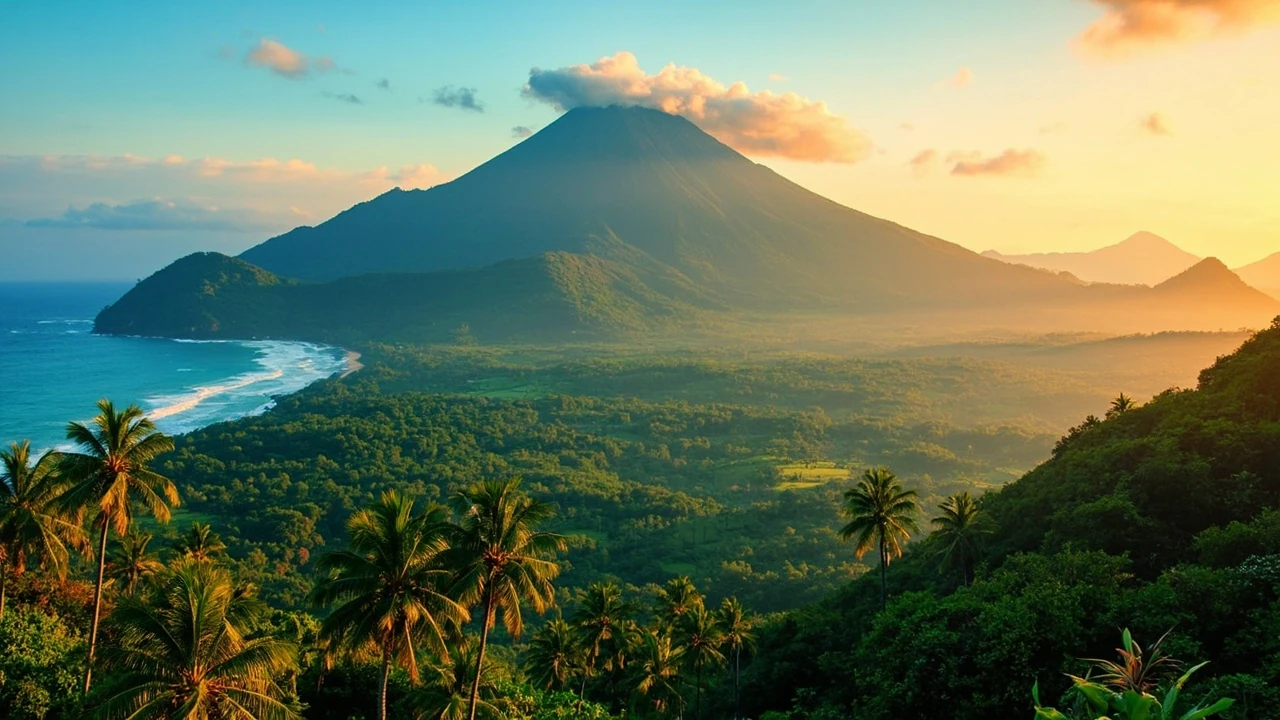
Arenal Volcano is the landmark most travelers picture when they first consider Costa Rica. The broad cone rises beyond the hotels, restaurants, and hot springs around La Fortuna, creating a striking landscape even on days when cloud covers the summit. The surrounding northern highlands also offer waterfalls, hanging bridges, wildlife reserves, and thermal springs, allowing a visitor to build several types of outdoor days around one base.
The active volcanic landscape requires current information rather than assumptions. Authorities issue advisories when activity changes, and trails or viewpoints may close. Do not approach closures, cross barriers, or treat a trail as safe solely because it appears open on a map or in an older photograph. The same principle applies to river activities, where water levels and conditions can be different from those shown in promotional material.
Arenal’s summit trail has historically drawn many visitors, but its difficulty, access, and current status should be checked before attempting it. A safer and less demanding alternative is a maintained viewpoint that offers a broad view of the volcano without requiring the steep climb to the crater area. For a fuller experience, take a guided walk with a local naturalist, particularly if the goal is to identify birds, plants, or animal signs rather than simply walk a distance.
La Fortuna also works well as a base for a day in Arenal Volcano National Park. Wear footwear with grip, carry water, and expect wet vegetation even when the town is dry. Waterfalls such as La Fortuna Waterfall Gardens provide paved routes and viewpoints, while river tours offer a different perspective on the landscape. Their conditions should be confirmed locally because high water can alter routes and safety limits.
Hot springs are another signature part of the area. Some are linked to resort complexes, while others are natural pools reached by gravel roads. A natural pool does not automatically mean it is supervised, maintained, or appropriate for every visitor. Ask the operator or local authority about currents, water quality, access, and changing river levels. Choose one spa-style stop or one natural soak rather than turning the itinerary into a series of similar baths.
| Experience near La Fortuna | Physical demand | What adds value | What to check |
|---|---|---|---|
| Volcano viewpoint | Low | Panoramic scenery and an easy introduction to the volcano | Summit visibility, weather, and current park notices |
| Rainforest or waterfall walk | Low to moderate | Plants, birds, and close views of flowing water | Trail condition, footwear, and river safety |
| Guided hanging-bridge route | Moderate | Canopy access and interpretation of cloud-forest species | Guide credentials and closure notices |
| Natural hot-spring soak | Low | Relaxation in a volcanic river setting | Water level, supervision, and current access conditions |
| Summit hike | High | A close, demanding perspective on the volcanic cone | Official trail status, closure orders, and local guidance |
Two or three nights are enough for the core La Fortuna experience, and a fourth day creates useful flexibility. A longer stay can be filled with nearby farms, birding trips, rafting, or a spa, but it is not necessary for the principal landmark. For many travelers, La Fortuna is also the best place to sample several famous landmarks in costa rica without changing hotels every few days.
Monteverde Cloud Forest and the hanging-bridge trail system
Monteverde For additional context, Cloud Forest offers a different Costa Rican landscape from the dry Pacific lowlands and open views around La Fortuna. The reserve’s elevation supports dense evergreen vegetation, mosses, epiphytes, and a dense atmosphere of mist. The hanging bridges are the best-known entry point, but the surrounding private reserves and community-run tours are what turn a short visit into a coherent wildlife experience.
Many travelers mistake the forest for a large conventional park with a single trailhead. In practice, accommodation operators often guide walks on private reserve land adjacent to the Monteverde reserve. This arrangement allows local guides to focus on specific habitats and maintain smaller groups. Ask your lodge or tour operator where the walk takes place, how long it lasts, and whether the route includes a naturalists’ explanation rather than simply a group crossing.
The bridges offer elevated views and a close look at the forest canopy, but the experience is not solely about crossing them. Listen for birds, learn to identify the vegetation, and allow time to look down into the understory. Quetzal sightings are possible in suitable habitat, although no operator can guarantee one. A respectful guide will explain the difference between seeing a wild animal and attracting it with calls or disturbance.
Cloud Forest mornings often feel cool and damp even during the dry season. A light rain layer, closed shoes, and a dry change of clothes are more useful than an umbrella that may be awkward on wooded trails. Insect repellent can be useful, particularly around water or in sheltered forest. Photography is best handled with a protected lens and an awareness that moisture can condense quickly.
- Budget one full morning for a guided reserve walk rather than treating the bridges as a brief roadside stop.
- Reserve another morning for a longer birding or natural-history route if wildlife is a central interest.
- Use midday for town time when the cloud cover is heaviest and visibility may be limited.
- Bring dry layers for cool forest conditions and sudden showers.
- Ask about local conservation fees included in the tour so you know what your payment supports.
Two nights can work for a compact visit, while three or four nights allow slower walks and a second weather window. Staying near Santa Elena gives easy access to restaurants and services; staying farther inside the forest may feel quieter but requires more driving. For a multi-region itinerary, Monteverde pairs naturally with La Fortuna because both sit in the northern interior, although the road between them includes steep, winding sections and should not be treated like a quick motorway transfer.
Manuel Antonio, Tortuguero, and two different coastal wildlife experiences
Manuel Antonio and Tortuguero are both associated with wildlife-rich tropical forests, but they suit different travel styles. Manuel Antonio is easier to reach, has a clear park-entry system, and places a sandy beach immediately beside forest trails. Tortuguero requires a more complicated arrival by boat or small plane, channels much of the movement through waterways, and delivers a slower rhythm. Choosing between them depends less on a checklist of animals and more on the pace you want.
Manuel Antonio National Park is particularly effective for travelers who want to combine a morning walk with a beach afternoon. The terrain is generally manageable, and a well-timed visit can place wildlife viewing before the busiest part of the day. Capuchins, howler monkeys, sloths, and numerous bird species are among the animals visitors may encounter. Sightings are never guaranteed, and guide quality, tide, noise, and individual animal behavior all influence the experience.
Reservations for Manuel Antonio may include a set arrival window rather than unrestricted entry. Confirm the current booking requirement and transport arrangements before arriving. Staying near the park entrance reduces backtracking, while Quepos and Manuel Antonio provide restaurants, medical services, and other conveniences. Do not assume that every beach beside the park is managed by the national park; access rules and conditions vary by site.
Tortuguero offers a wilder sense of place. Visitors often move by small boat through canals, pass low rainforest, and walk on marked trails in search of sloths, monkeys, crocodiles, and tropical birds. Green turtle nesting is another major seasonal attraction, but viewing opportunities depend on turtle activity, local regulations, darkness, tides, and whether nesting occurs during your stay. A tour operator should explain how nighttime turtle tours are conducted and what behavior is prohibited.
| Question | Manuel Antonio | Tortuguero |
|---|---|---|
| Best for | First-time visitors and beach-and-nature combinations | Slow travel, canals, and a stronger expedition feel |
| Access | Road access with timed park entry | Boat or small-plane access, weather dependent |
| Typical rhythm | Early walk, midday beach or rest, evening near Quepos | Boat transfers and short guided walks throughout the day |
| Main limitation | Crowds during popular periods and strict entry windows | Rain, river levels, and less schedule flexibility |
| Wildlife emphasis | Forest primates, sloths, and birds near an accessible beach | Canals, riverbanks, turtles, and rainforest species |
Most travelers should choose one rather than add both to a short itinerary. Combining them is possible for travelers with enough time to tolerate a significant transfer, but it adds transport complexity without necessarily improving the experience. If wildlife is your priority, two full days in Tortuguero or three in Manuel Antonio will usually be more satisfying than splitting one night between the two.
Corcovado, the Osa Peninsula, and Guayabo’s archaeological landscape
The Osa Peninsula represents Costa Rica at its most expansive and least settled. Its rainforest, rivers, and remote beaches require more time and physical effort than the more accessible highlights. Corcovado National Park is the best-known destination here, with trails that pass through lowland rainforest, coastal habitats, and areas where jaguars and other elusive wildlife live. The For additional context, UNESCO World Heritage property listing for Guayabo also recognizes the archaeological importance of the Guayabo National Monument, a separate but culturally significant stop in the region.
Corcovado is not simply another large-animal safari. Many of its attractions are ecological: dense forest, streams, coastal ecosystems, and geological features encountered on foot. Ranger-led activities and experienced local guides can help visitors read tracks, calls, and plant signs. Conditions can be wet, muddy, hot, and physically demanding. Remote travel also carries greater consequences when clothing, footwear, or health provisions are inadequate.
The Osa works best with a clear minimum duration. A single day usually exposes travelers to long transfers and leaves little time for a meaningful trail. Three or four days allow one substantial guided or self-guided hiking day, another for weather resilience, and time to appreciate the lodge or ecolodge setting. Mainland lodges may make park access easier; remote coastal lodges offer greater immersion but can take more time to reach.
Guayabo offers a different perspective. The site is associated with pre-Columbian settlement and monumental architecture, including paved plazas and carved stonework. Visiting it provides cultural and archaeological context that a purely wildlife-oriented itinerary would miss. The National Museum in San José can be a useful complementary stop, but the site itself rewards attention to the landscape, engineering, and interpretation rather than a quick photo stop.
- Bring proper trail footwear: Light shoes can fail on wet roots, mud, and uneven stone.
- Plan for real remoteness: Mobile service, medical support, and replacement equipment may be limited far from the mainland.
- Protect food and belongings: Secure storage and wildlife-safe practices are more important than in a conventional resort.
- Choose a licensed guide where appropriate: Local knowledge is especially valuable for trail conditions and wildlife interpretation.
- Respect archaeological rules: Do not climb, move, or touch stones and structures at heritage sites.
The Osa is not the right choice for a rushed trip dominated by short sightseeing stops. It suits travelers who value depth, physical participation, and days without dense schedules. Because of its isolation, it also offers one of the clearest ways to experience the famous landmarks in costa rica as landscapes rather than as a sequence of visitor attractions.
Pacific beaches, surf towns, and the Nicoya coast
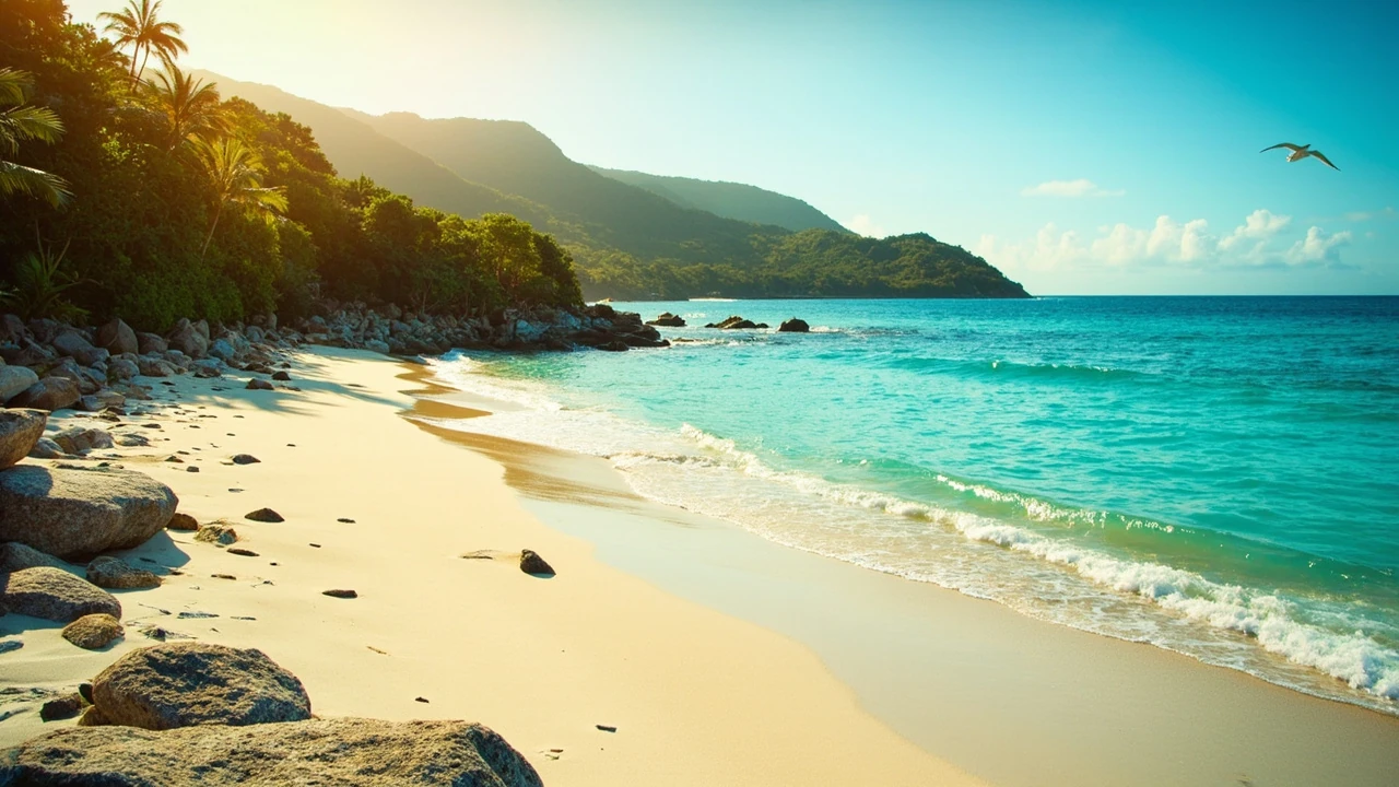
The Pacific side contains several of the country’s most recognizable beach and surf landscapes. Guanacaste stretches from the dry-country north around the Peninsula de Nicoya, while southern towns such as Santa Teresa and Montezuma have a more bohemian, tropical character. Santa Elena, Nosara, and Tamarindo each serve different travelers, so selecting the right base matters more than trying to cover every beach name.
Santa Elena and Montezuma offer a mixture of beaches, restaurants, surf, yoga, and nature-oriented tourism. Nosara has a strong surf identity and a quieter peninsula setting, with wildlife and coastal trails close to town. Tamarindo is larger and more developed, with a broad selection of restaurants, services, excursions, and beach neighborhoods. It works well for travelers who want easy access to amenities rather than an intentionally remote base.
Farther south, Santa Teresa combines a long beach with surfing, yoga, nature, and a slower town atmosphere. Playa Grande offers another broad Pacific beach, while the Ostional and Nosara areas are known for wildlife and turtle-related conservation. Turtle nesting remains seasonal and subject to natural conditions, so tours and access must follow current conservation guidance.
Beach conditions vary with tides, swell, currents, and rainfall. The dry season can produce long stretches of bright, hot sand, while the green season brings rougher surf, more runoff, and dramatic afternoon skies. If surfing is central, ask a local school or qualified guide about the break that matches your ability and check the forecast on the day. Lifeguard flags and local warnings are more useful than general descriptions of a beach as safe or dangerous.
| Pacific base | Best fit | Why travelers choose it | Consideration |
|---|---|---|---|
| Santa Elena | Balanced beach vacation | Services, restaurants, surf, and access to nearby coastal scenery | It can become busy during peak periods |
| Nosara | Surf and nature | Beach access, wildlife areas, and a strong outdoor identity | Plan transportation around the less direct road network |
| Tamarindo | First-time beach visitors | Wide range of lodging, dining, tours, and services | The town center is lively rather than peaceful |
| Santa Teresa | Longer relaxed stay | Long beach, surf, yoga, and a slower pace | Distances between local beaches affect travel time |
| Playa Grande | Wide beach and simple escape | Long stretch of sand and a small-town setting | Less variety when bad weather disrupts outdoor plans |
A week is often the minimum for a comfortable Pacific itinerary because each transfer and activity consumes time. Keep one weather day open, avoid booking an essential tour on the same day as a long international flight, and choose one or two nearby beaches rather than a checklist of distant coast towns. You will spend more time in the water, restaurants, and local trails that way.
For broader comparison, what Mexico is known for beyond beaches and tacos illustrates why travelers benefit from looking beyond a country’s single most familiar image. Costa Rica similarly deserves more depth than a beach-only itinerary, although the best way to see that diversity is to accept slower travel rather than trying to compress every region.
Planning details that make landmark hopping easier
Transport is the hidden itinerary. A flight between San José and the south can look simple on a map, but the trip also involves getting from the airport, crossing a security checkpoint, handling luggage, and returning to the airport several hours early. Domestic flights simplify long distances, yet schedules, baggage rules, and weather delays still affect plans. Land transfers can provide a scenic journey but consume a substantial portion of a day.
For the landmarks discussed here, a combination of domestic flights and road transfers usually works best. Fly to the Liberia area for Guanacaste and La Fortuna, use San José as a connection point, and consider a short flight or long road transfer to the Osa Peninsula. Monteverde and Manuel Antonio can be linked by road, but a realistic plan should recognize that the journey may take much longer than the direct distance suggests.
- Download offline maps: Signal can be inconsistent on remote roads, though downloaded maps do not eliminate the need for current local advice.
- Carry small cash: It can be useful near rural communities and smaller services, while card acceptance is common in developed tourist areas.
- Protect electronics: Use a dry bag during river crossings, boat rides, and heavy rain.
- Bring a light rain shell: It is more useful than an umbrella for trails and transfers.
- Keep the first day open: A delayed flight should not cause you to miss a fixed reservation on day two.
- Confirm park rules early: Entry windows, reservations, guides, and restricted activities can change.
Travel insurance is particularly important for active itineraries. Read the policy for coverage of hiking, surfing, rafting, zip-lining, wildlife tours, medical evacuation, and motorcycle or four-wheel-drive use. Adventure activities can have specific age, health, and experience requirements that are stricter than general admission rules.
Some travelers also confuse wildlife tours with guarantees. No legitimate operator can promise a jaguar, whale, sloth, or perfect sighting on demand. A good guide explains the habitat, uses appropriate observation methods, and adjusts the route when conditions change. You will have a better experience if you value the guide’s interpretation rather than treating every sighting as a checklist item.
For a broader sense of how landmark lists can differ by country, Canada landmarks beyond Niagara Falls offers a useful parallel. Both destinations have iconic sites, but the best route depends on geography, regional conditions, and the traveler’s interests.
A final checklist for famous landmarks in costa rica should include current park and transport confirmations, appropriate clothing, insect protection, cash and cards, travel insurance, and enough schedule flexibility to absorb weather or river-related delays. Once those basics are settled, choosing one geographic theme becomes much easier.
Frequently asked questions
What are the most famous landmarks in Costa Rica?
Arenal Volcano, Monteverde Cloud Forest, Manuel Antonio National Park, Tortuguero National Park, Corcovado National Park, and the beaches of the Nicoya Peninsula are among the best-known destinations. San José’s Teatro Nacional and the Guayabo archaeological site are also major cultural landmarks. The right choices depend on whether you prioritize wildlife, hiking, beaches, history, or a balance of several interests.
Can I visit Arenal Volcano and Monteverde in one trip?
Yes. They are both in the northern interior and are commonly combined, but the road between them involves mountainous terrain. Give the transfer a generous time window, avoid scheduling a major activity immediately after it, and consider weather conditions. Staying at least two nights in each place produces a more comfortable experience than passing through quickly.
Is Manuel Antonio suitable for families with children?
Manuel Antonio can suit families because the park has relatively accessible trails and a beach nearby. Conditions vary, so verify current entry procedures and the physical demands of any specific walk. Nearby accommodation, bathrooms, transportation, and food options vary by location, so research the specific base rather than assuming every nearby hotel offers the same services.
Do I need a guide in Tortuguero?
Guides are strongly recommended for wildlife interpretation, navigation, and understanding access conditions. They also improve the chance of learning how species interact with the canal and forest environments. However, a guide cannot guarantee that any particular animal will appear. Choose an operator that explains its routes, group size, safety procedures, and wildlife ethics.
Is the Osa Peninsula suitable for a short vacation?
It is best for travelers with at least several days. Transfers can take a significant portion of the first day, and rain or river conditions may require schedule changes. Corcovado’s trails also demand proper footwear, water, and physical preparation. The remoteness is part of the appeal, but it should be matched by a trip length that allows for both travel and recovery.
What is the best Pacific coast town for a first visit?
Tamarindo offers the broadest selection of services, restaurants, excursions, and accommodation categories. Santa Elena and Nosara suit travelers seeking more surf and outdoor activity, while Santa Teresa is a good choice for a longer, slower beach stay. Consider the town’s atmosphere, transfer time, and the specific beaches you want to visit before booking.
When are turtle-viewing opportunities available?
Turtle nesting is seasonal and depends on the species, beaches, tides, weather, and current conservation rules. Not every tour operates every night, and viewing can be prohibited or restricted in sensitive areas. Use a responsible local operator and follow official guidance rather than relying on a fixed travel-season rule.
Should I rent a four-wheel-drive vehicle?
It is not necessary for many standard routes between major tourist areas, but it can help in remote or rainy conditions. A four-wheel-drive vehicle does not eliminate the risks of flooded roads, river crossings, landslides, or poor traction. If an operator requires one, confirm that you are legally permitted and insured to drive it. Travelers who are uncomfortable with rough roads may do better with a driver or a planned transfer.
How many Costa Rican landmarks can I visit in one week?
Most travelers should choose one main region and no more than two major landmarks. A week can support La Fortuna and Monteverde, Manuel Antonio plus a nearby coast, or a Pacific itinerary with several beaches. Adding Tortuguero or the Osa Peninsula requires more time and careful transport planning. Fewer well-chosen stops usually produce a better trip than a schedule built around constant movement.